Stanislaus National Forest in the Sierra Nevada
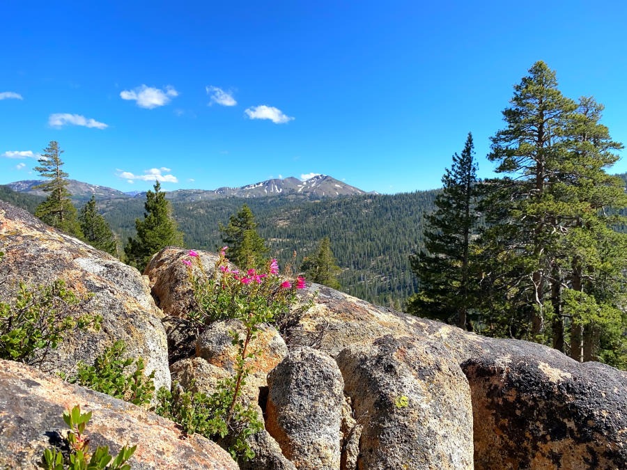
The Stanislaus National Forest is a remarkably untrammeled corridor across California’s Sierra Nevada range, along Highway 4, stretching from the town of Arnold up to Ebbetts Pass. I’m not quite sure why this area seems to be passed over and forgotten but I think it has something to do with being situated about the midpoint between Yosemite National Park to the South, and Lake Tahoe to North. Both of those destinations become literal zoos of tourist traffic, leaving the Stanislaus NF in relative peace and serenity. Even in the height of summer, most of the tourist draw tends to be focused on specific spots such as the immediately accessible shoreline of Lake Alpine right next to Highway 4.
That’s why we’ve returned to the Stanislaus NF three times now. It’s quiet and untrammeled, yet offers a similar foray into the Sierra Nevada, and John Muir territory, as offered by Yosemite and Lake Tahoe.
Highway 4 runs East through the Stanislaus National Forest, flanked by two Wilderness Areas within the NF, The Mokelumne to the north and The Carson-Iceberg to the south.
Rivers
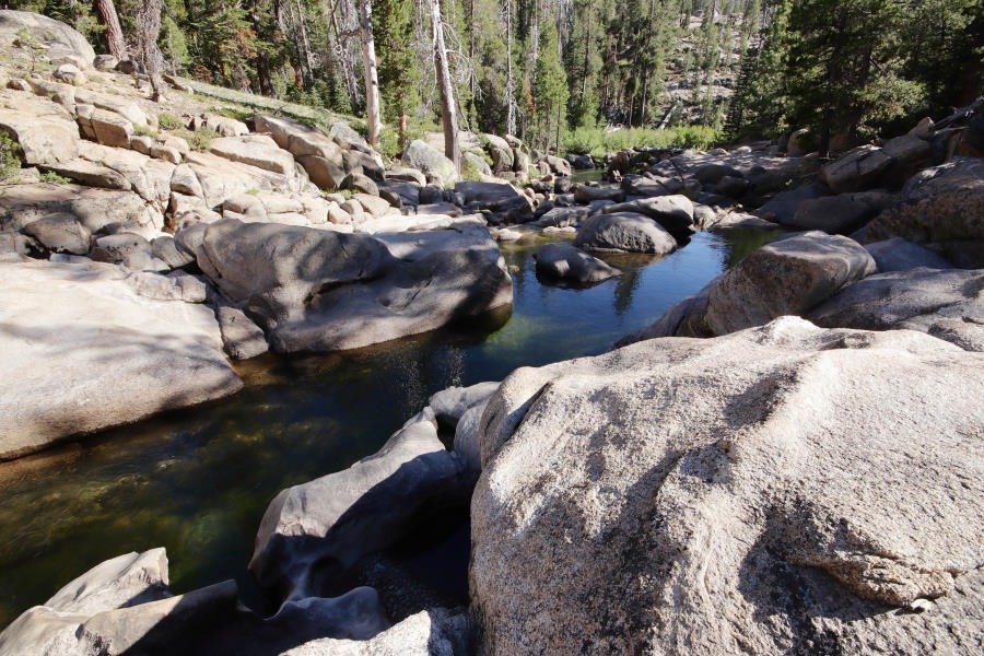
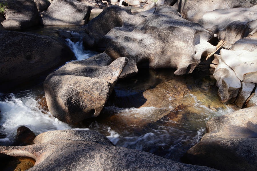
The two main rivers in this region are the Mokelumne and the Stanislaus. I need to check but I believe that both offer excellent trout fishing. Both cascade along the depths of glacier scoured valleys, tumbling over massive granite boulders and sculpted rock formations, with pools a plenty.
Lakes and Reservoirs
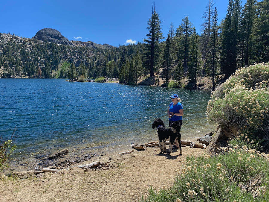
Most of the large lakes are actually reservoirs. The noteworthy reservoirs are Lake Alpine and Kinney, next to Highway 4, and Utica, Union and Spicer Meadow, all SouthEast of Lake Alpine. There are a few natural lakes at higher elevation, notably Summit Lake, Elephant Rock Lake, the Upper and Lower Blue Lakes, and the Upper and Lower Kinney Lakes.
Wilderness Areas
The two big wilderness areas closest to Highway 4 are the Mokelumne and the Carson-Iceberg. Both offer unspoilt enjoyment of John Muir country. For an introduction into what you can expect, I recommend Muir’s book, My First Summer in the Sierras.
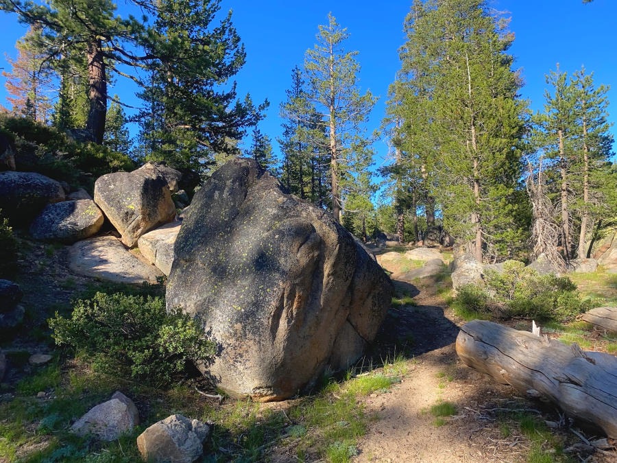
As far as I know, neither of these areas offer the epic grandeur of the spectacular peaks, nor granite cliff faces nor the thousand foot waterfalls offered by Yosemite, but both offer everything else that the Sierras have to offer, yet on a much more modest scale.
Trails
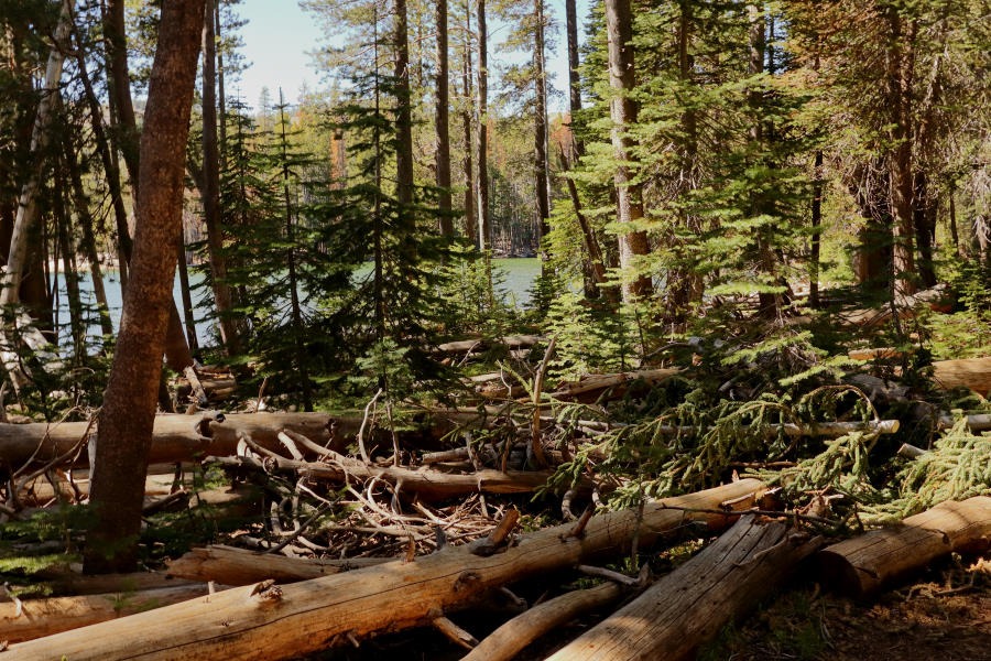
The trails you’ll find in this region are delightfully primitive and untrammeled. The All Trails site provides a comprehensive overview of all the hiking trails in the area, complete with up to date user reports and photographs. From my experience all of the trails were single lane footpaths in reasonably good condition with only a few fallen trees obstructing they way here and there. On a couple of occasions it took us a few minutes of scouting around to find the actual trail head. So don’t expect to find the wide and well maintained thoroughfares of Yosemite replete with trail markers.
Note that the famous Pacific Crest Trail follows the ridgeline across Ebbetts Pass.
Summer
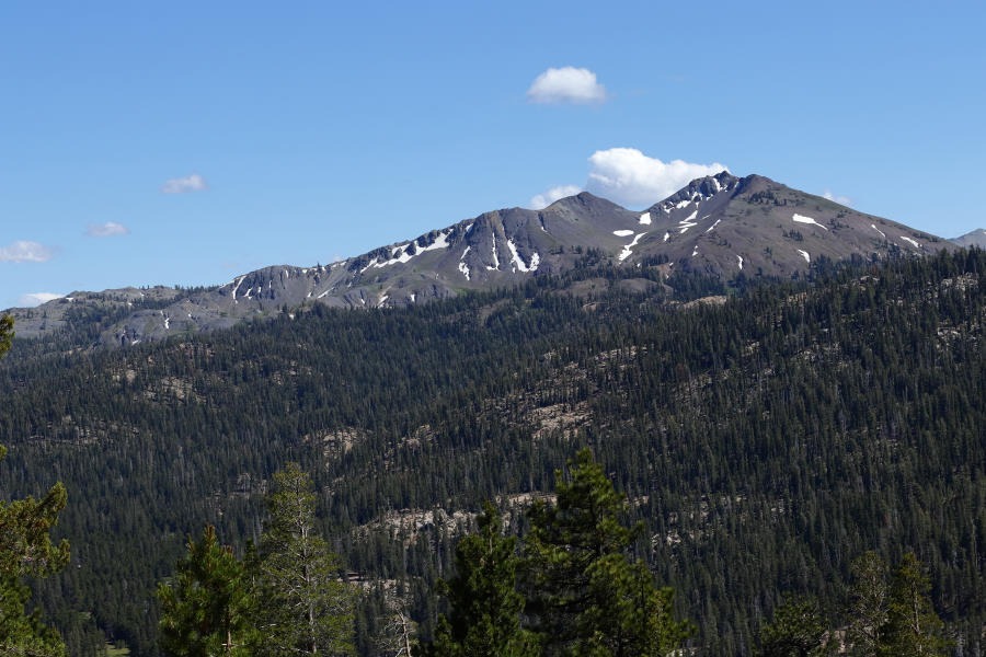
During the summer, the weather is comfortable, and significantly cooler than the central valley far below. Daytime temperatures reach the low 80s.
The lake water warms enough for a comfortable swim, while you can find several swimming holes along the rivers and creeks. The lakes provide opportunities for fishing and paddling. All the water is crystal clear and clean. I haven’t heard of any issues with blue green algae. I believe that motor craft are restricted from the waters but I need to check. Proof of boat inspection for zebra and quagga mussels is mandatory. It’s great to relax and commune with nature on a lonely lake shore at the end of a delightful hike.
Winter
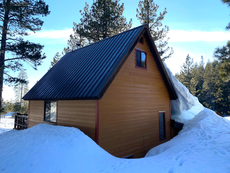
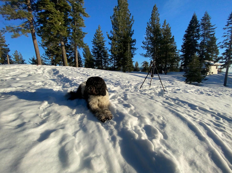
In winter, the region receives up to 60 feet of snow, which accumulates into a snow pack of up to 20 feet deep. The Bear Valley Resort offers alpine skiing. Several trails are groomed for cross country skiing. We did a little bit of sledding and snowshoeing. It’s fun to build snow forts and practice winter survival and bushcraft skills. The most popular activity seems to be skidooing. The incredible snowpack in late winter through mid spring is worth experiencing in its own right. Note that the snow pack persists well into late spring and possibly early summer even though the spring time weather can be very warm even above 9000 feet.
Mokelumne
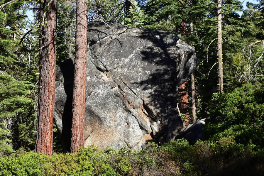
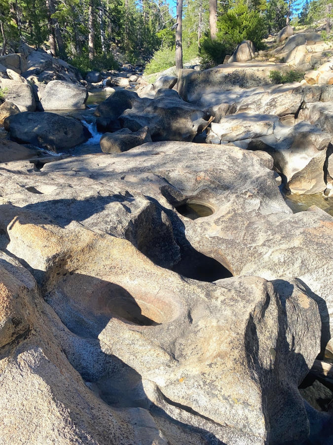
A very good trail for the Mokelumne River starts upstream at the Hermit Valley trail head. Bring a picnic and your swimsuit on hot summer days. The trail wends its way through mature pine forests. I need to review the pine species that prevail there. I believe the sugar pine reigns supreme. Some of the trees are gigantic. In summer, the ground is parched but the river flow is quite substantial. Trout seem to congregate in pools that can be several feet deep. Cascades and rapids keep the water well oxygenated. The sculpted granite along the course of the river is fascinating, like an endless sculpture garden. Robust and gregarious lizards venture out on the smooth rock to say hello. The rock is fantastically polished yet in some places you can see striations left by ancient glaciers.
Ebbetts Pass / PCT
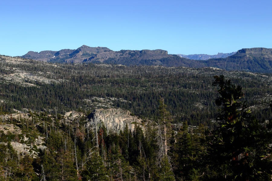
The overall terrain and scenery become more dramatic as you approach Ebbetts Pass and the PCT. As you drive along Highway 4 and gain elevation, you leave the forest and enter an open alpine ecosystem of meadows, bare granite and permanent snow above the treeline. You’ll see aspen trees and sagebrush with an abundance of wild flowers. Keep an eye out for the National Forest campsites along the highway. They are primitive but quite stupendously beautiful. At the pass you will see ridgelines of rugged peaks and bare rock, with northern slopes blanketed in snow. Again, the peaks, rock faces and waterfalls are not as dramatic as those in Yosemite, but are epic in their own right.
Lake Alpine
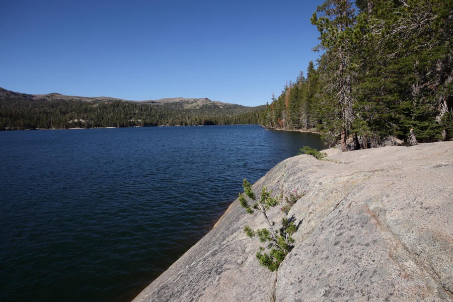
As I mentioned, Lake Alpine receives a fair amount of visitors but the majority refuse to venture far from the parking lot near Highway 4’s winter closure gate to Ebbetts Pass. That means you can expect to have most of the lake to yourself. Lake Alpine is just one of several reservoirs to choose from. In summer, its water is clear, clean and cool, yet comfortable for swimming.
AirBNB
If you haven’t made arrangements to camp at one of the many primitive sites in the national forest or wilderness areas, then I recommend that you book a few days in an AirBNB ski lodge. We found one that we return to in the beautifully forested Sky High Ranch residential area next to Bear Valley.
